OS benchmark - Puleston, farm building
Uploader's Comments
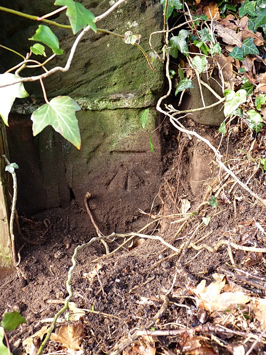
An OS cutmark on the corner of a disused barn at the junction; originally levelled at 74.969m above Ordnance Datum Newlyn.
Uploaded to Geograph by Richard Law on 22 November 2014
An OS cutmark on the corner of a disused barn at the junction; originally levelled at 74.969m above Ordnance Datum Newlyn.
Uploaded to Geograph by Richard Law on 22 November 2014
 Photo © Richard Law, 22 November 2014.
Licensed for reuse under this Creative Commons licence
Photo © Richard Law, 22 November 2014.
Licensed for reuse under this Creative Commons licence

