-

Curious concrete structures at Porth yr Ogof
-
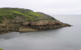
Porth yr Ogof
Curious concrete structures at Porth yr Ogof
Porth yr Ogof
Location and coordinates are for the approximate centre of Ynys yr Wyn within this administrative area. Geographic features and populated places may cross administrative borders.