-
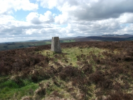
Trig point on Y Foel
-
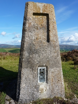
Summit trig & flush bracket
Trig point on Y Foel
Summit trig & flush bracket
Location and coordinates are for the approximate centre of Y Foel within this administrative area. Geographic features and populated places may cross administrative borders.