-
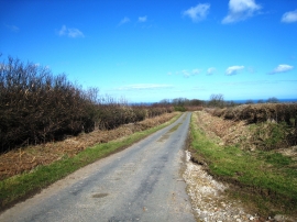
Raikes' Lane - looking north and downhill
-
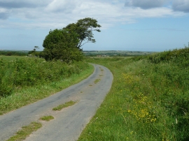
A curve on Raikes Lane, Sneaton
Raikes' Lane - looking north and downhill
A curve on Raikes Lane, Sneaton
Location and coordinates are for the approximate centre of Whinny Wood within this administrative area. Geographic features and populated places may cross administrative borders.