-

Adamson's Skoda car dealership, Walmer
-
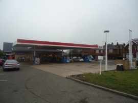
Petrol station, Walmer
Adamson's Skoda car dealership, Walmer
Petrol station, Walmer
Location and coordinates are for the approximate centre of Walmer within this administrative area. Geographic features and populated places may cross administrative borders.