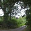
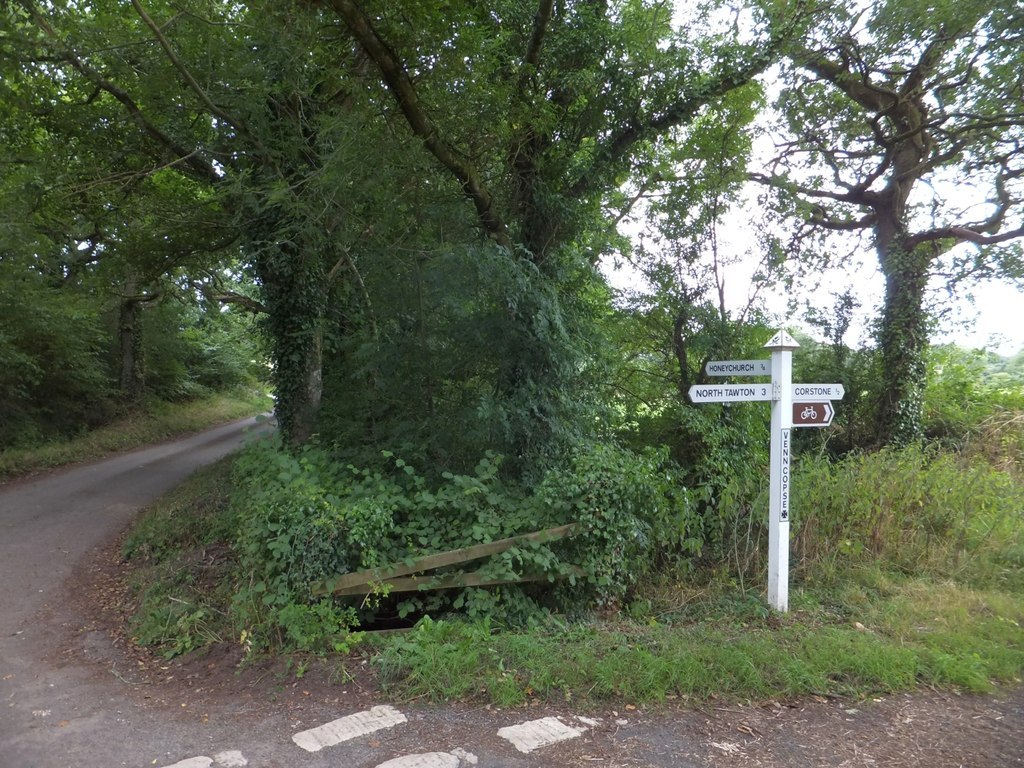
Venn Copse Cross signpost and stream
Uploader's Comments
According to the OS map, there is a boundary stone at this junction, presumably marking that the stream is a village boundary. But the stone is well-hidden, assuming it is still there.
Uploaded to Geograph by David Smith on 29 August 2013