Upper Langsky Belt
Uploader's Comments
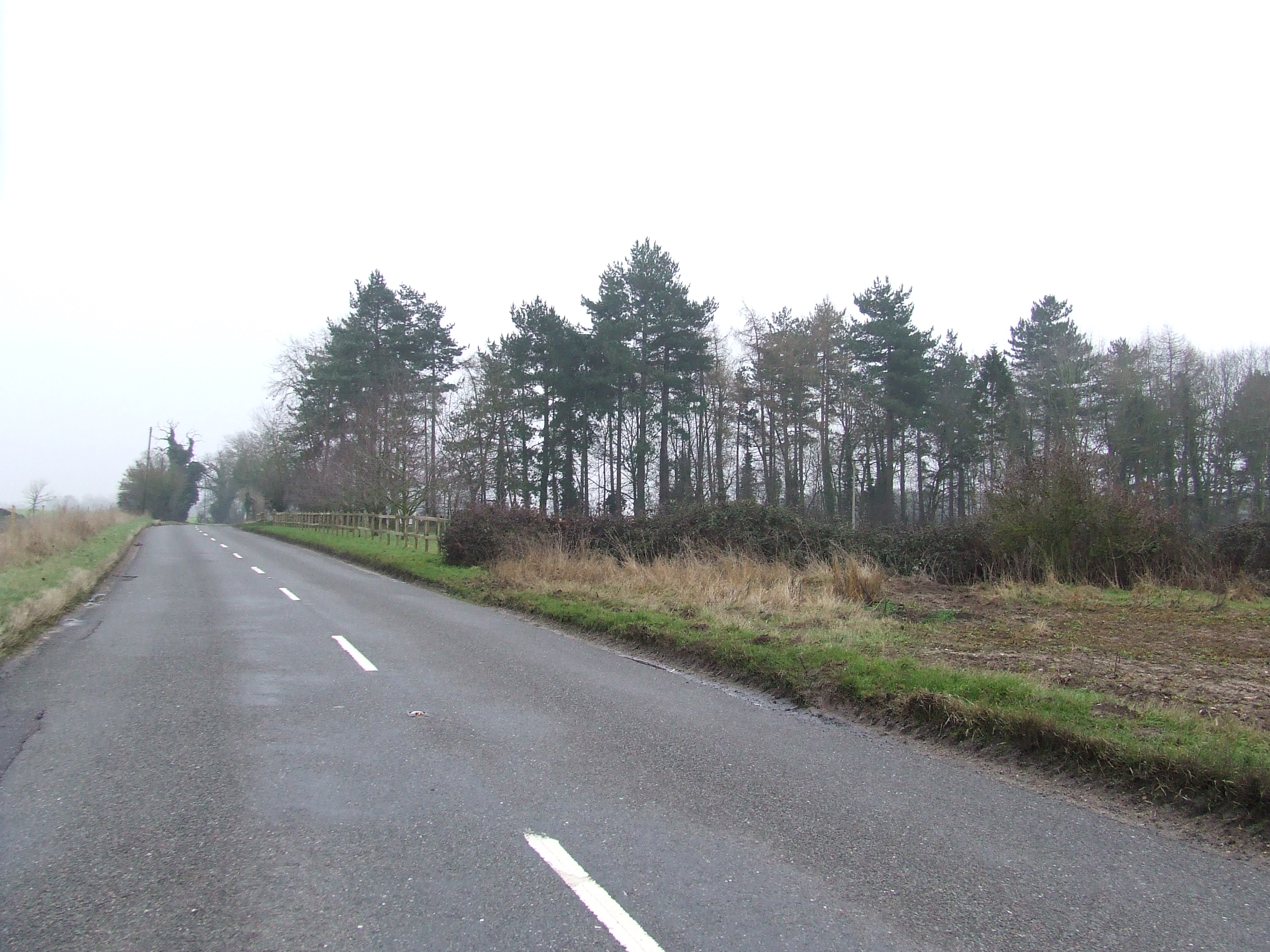
The belt of trees is marked on the 1:25:000 O.S. map as Upper Langsky Belt near to Middle Harling, Norfolk.
Uploaded to Geograph by Keith Evans on 24 January 2010
The belt of trees is marked on the 1:25:000 O.S. map as Upper Langsky Belt near to Middle Harling, Norfolk.
Uploaded to Geograph by Keith Evans on 24 January 2010
 Photo © Keith Evans, 24 January 2010.
Licensed for reuse under this Creative Commons licence
Photo © Keith Evans, 24 January 2010.
Licensed for reuse under this Creative Commons licence

