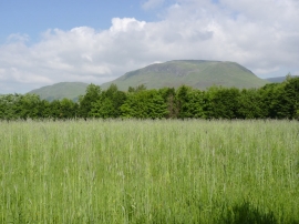
Twentyfive Acre Wood, Clackmannanshire

« Gazetteer Entry
Upload Photo

Twentyfive Acre Wood, Clackmannanshire

  • Unitary Authority: Clackmannanshire
  • Region: Scotland
  • Category: Landcover
  • Type: Forest or Wood
  • Latitude/Longitude: 56°8'23"N 3°46'47"W
  • Eastings/Northings: 289500, 695545
  • OS Grid: NS895955
  • Mapcode Local: GBR 1K.K2T1
  • Mapcode Global: WH5Q6.XY71

Location and coordinates are for the approximate centre of Twentyfive Acre Wood within this administrative area. Geographic features and populated places may cross administrative borders.

BritishPlaceNames.uk is a Good Stuff website.