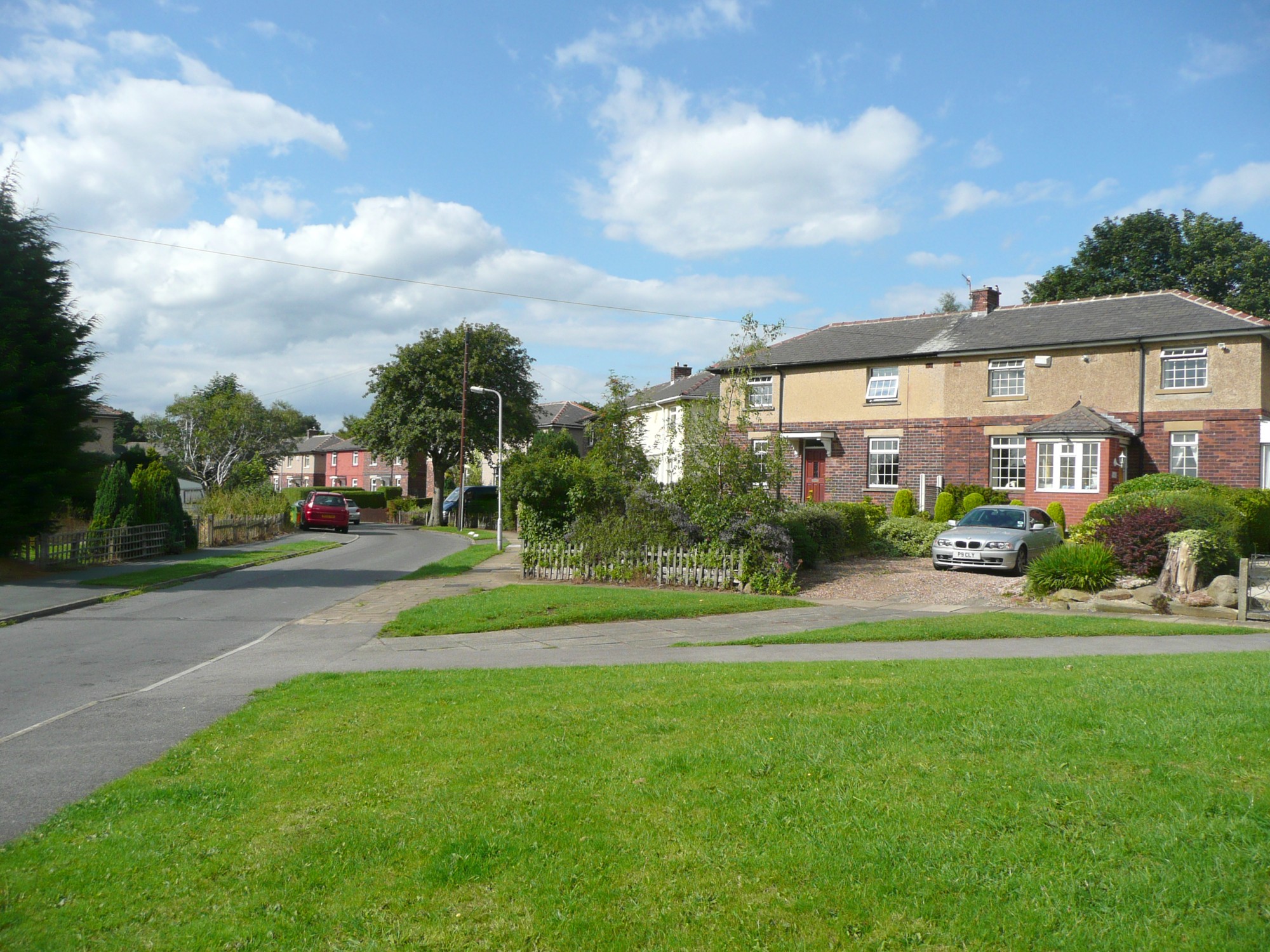
North Hall Avenue, Thackley
Uploader's Comments
These are shown on a six-inch map that was probably revised in the 1930s. They look like ex-council houses, and were presumably built on fields belonging to North Hall Farm.
Uploaded to Geograph by Humphrey Bolton on 23 July 2010


