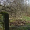
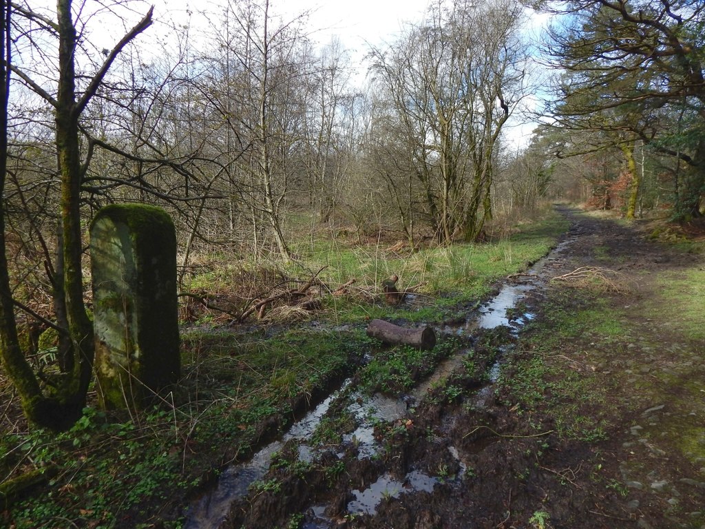
Old gatepost near Stable Wood
Uploader's Comments
[[5328724]] is to the right (ENE) of the track. The gatepost was part of a boundary on the other side of the track; it headed roughly south-west from this point. That boundary is marked on the first-edition map, surveyed in 1860, but not on the revision of 1897.
Uploaded to Geograph by Lairich Rig on 19 March 2017