-
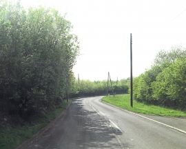
B2089 north of Goatham Farm
-
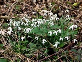
Snowdrops in Brede High Woods
B2089 north of Goatham Farm
Snowdrops in Brede High Woods
Location and coordinates are for the approximate centre of Sculdown Shaw within this administrative area. Geographic features and populated places may cross administrative borders.