Sighting NNE along Ackling Dyke towards the A354
Uploader's Comments
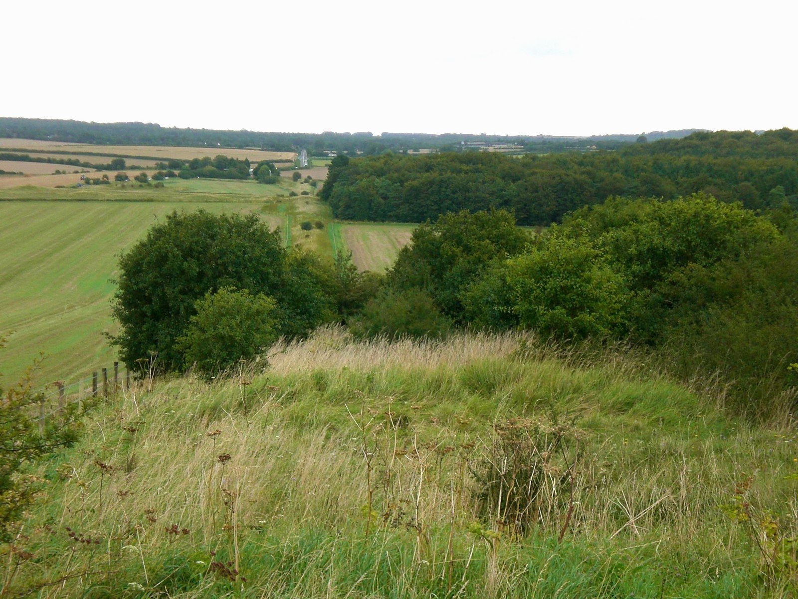
This area of Dorset is crossed by a number of ancient linear earthworks. The one seen stretching into the distance here is Ackling Dyke, a Roman road which connects Old Sarum with Badbury Rings. In the distance - actually from about SU 022 178 in the next grid-square to the NE - the alignment of the Dyke is picked up by the A354 as it heads towards Salisbury. Nearer the camera the A354 comes in from the left-hand margin of the picture.
Uploaded to Geograph by Stefan Czapski on 17 August 2007


