-
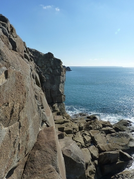
Cliffs - SW face of the head
-
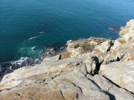
Straight down the cliff
Cliffs - SW face of the head
Straight down the cliff
Location and coordinates are for the approximate centre of Rinsey Head within this administrative area. Geographic features and populated places may cross administrative borders.