Fence on moorland north of Shorngate Cross Currick
Uploader's Comments
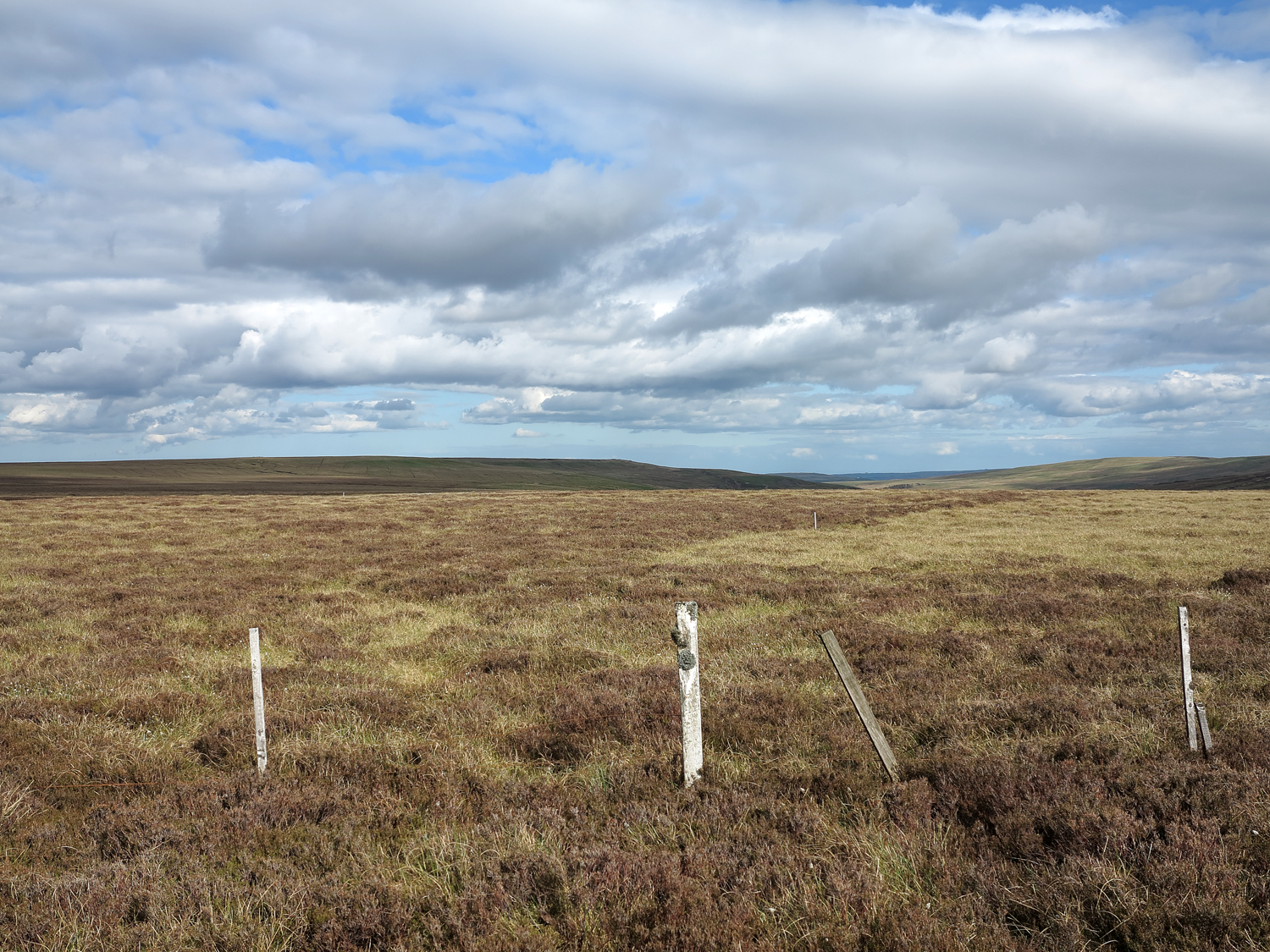
The moorland lies just to the north of the low point on the watershed between East Allendale and Rook Hope where a road crosses passing the elegant cone of Shorngate Cross Currick; the location is in fact on the watershed itself. The fence also marks the boundary between County Durham, (far side of fence) and Northumberland, (near side). The cloud-shadowed moorland in the distance is Dry Rigg - it's not dry!
Uploaded to Geograph by Trevor Littlewood on 1 June 2013


