-
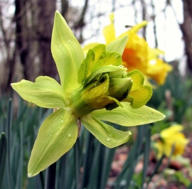
Green daffodil in Brede High Woods
-
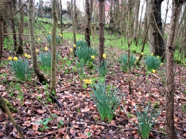
Daffodils in Brede High Woods
Green daffodil in Brede High Woods
Daffodils in Brede High Woods
Location and coordinates are for the approximate centre of North Wood within this administrative area. Geographic features and populated places may cross administrative borders.