Ericstane, the head of Annandale and Hartfell
Uploader's Comments
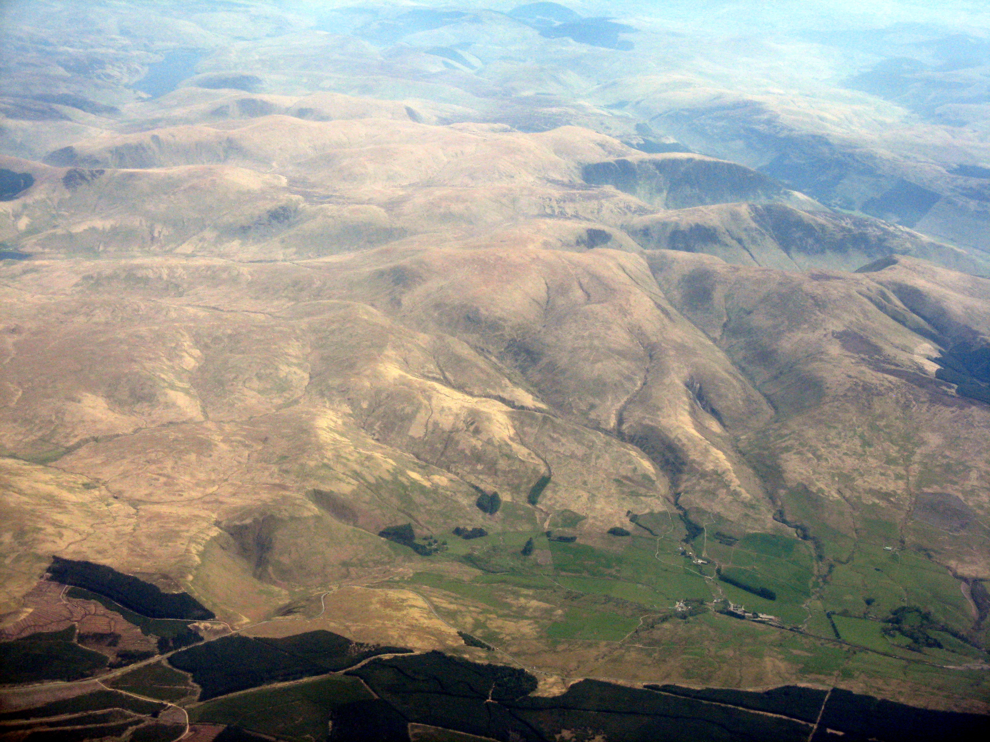
Looking northeast from over the Lowther Hills. The A701 Moffat-Edinburgh road runs along the margin of the forestry, and the Devil's Beef Tub is the left-most of the two brownish triangles at lower left. Hartfell is in the centre of the picture
Uploaded to Geograph by M J Richardson on 11 May 2016


