-
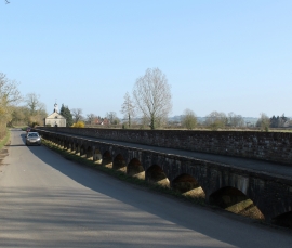
2011 : Maud Heath's Causeway, near Kellaways
-
2011 : Maud Heath's Causeway at Kellaways
2011 : Maud Heath's Causeway, near Kellaways
2011 : Maud Heath's Causeway at Kellaways
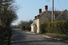
Location and coordinates are for the approximate centre of Kellaways within this administrative area. Geographic features and populated places may cross administrative borders.