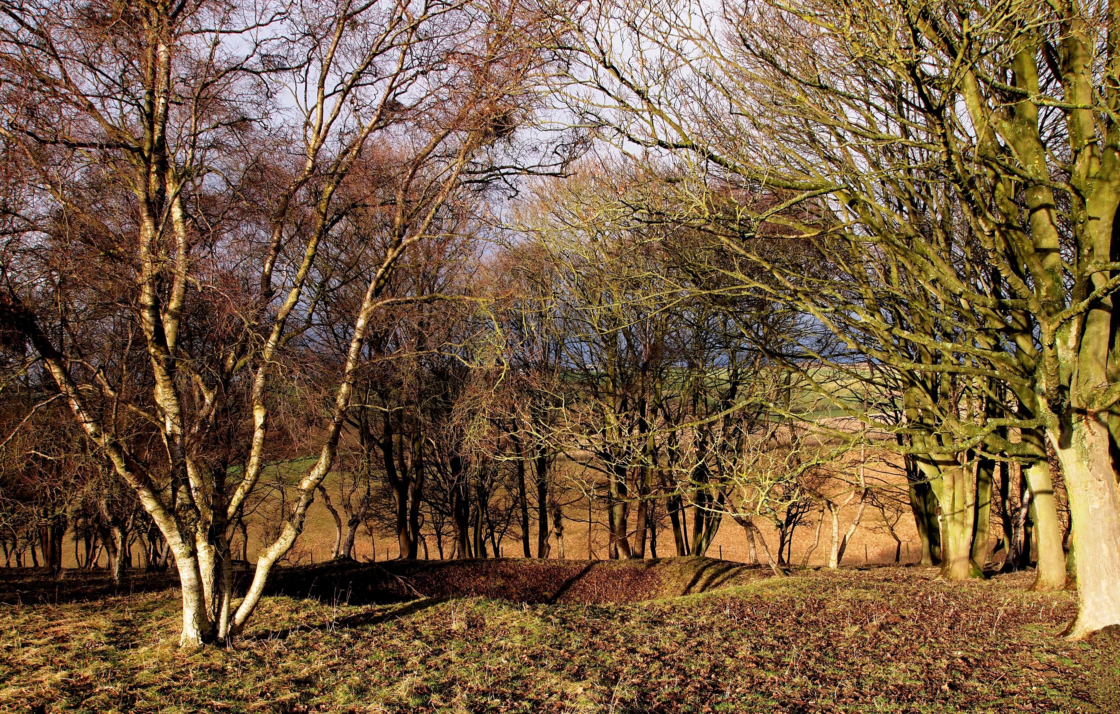
Land Depression in Jessop's Plantation
Uploader's Comments
Don't know what this metre deep three metre diameter hole in the ground is for - it's not shown on the 25,000 map! A cattle watering hole perhaps?
Uploaded to Geograph by Andy Beecroft on 30 December 2012


