Skell Dykes
Uploader's Comments
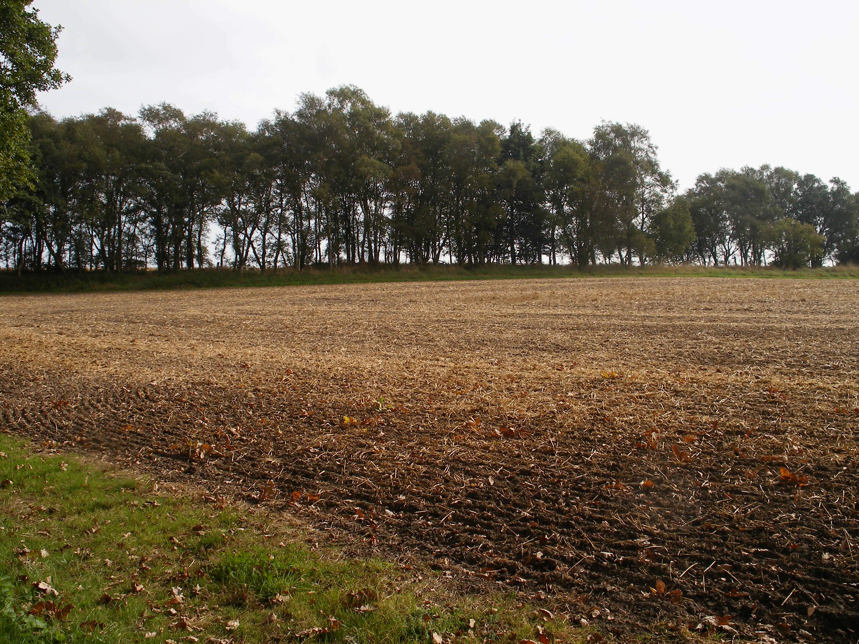
The tree lined embankment is the Skell Dykes which survive to an impressive height crossing arable land on East Ayton Moor. The dykes comprise two ditches and two banks and run south from the scarp edge for a distance of 660 metres though they originally continued southward into Seavegate Gill. The name probably comes from the Norse "Skial" meaning a boundary. Their precise date and use is unknown but along with the scarp slope of Forge Valley they would have enclosed a substantial area so are probably and land ownership feature.
Uploaded to Geograph by Christopher Hall on 12 September 2014


