Kinlochewe Valley
Uploader's Comments
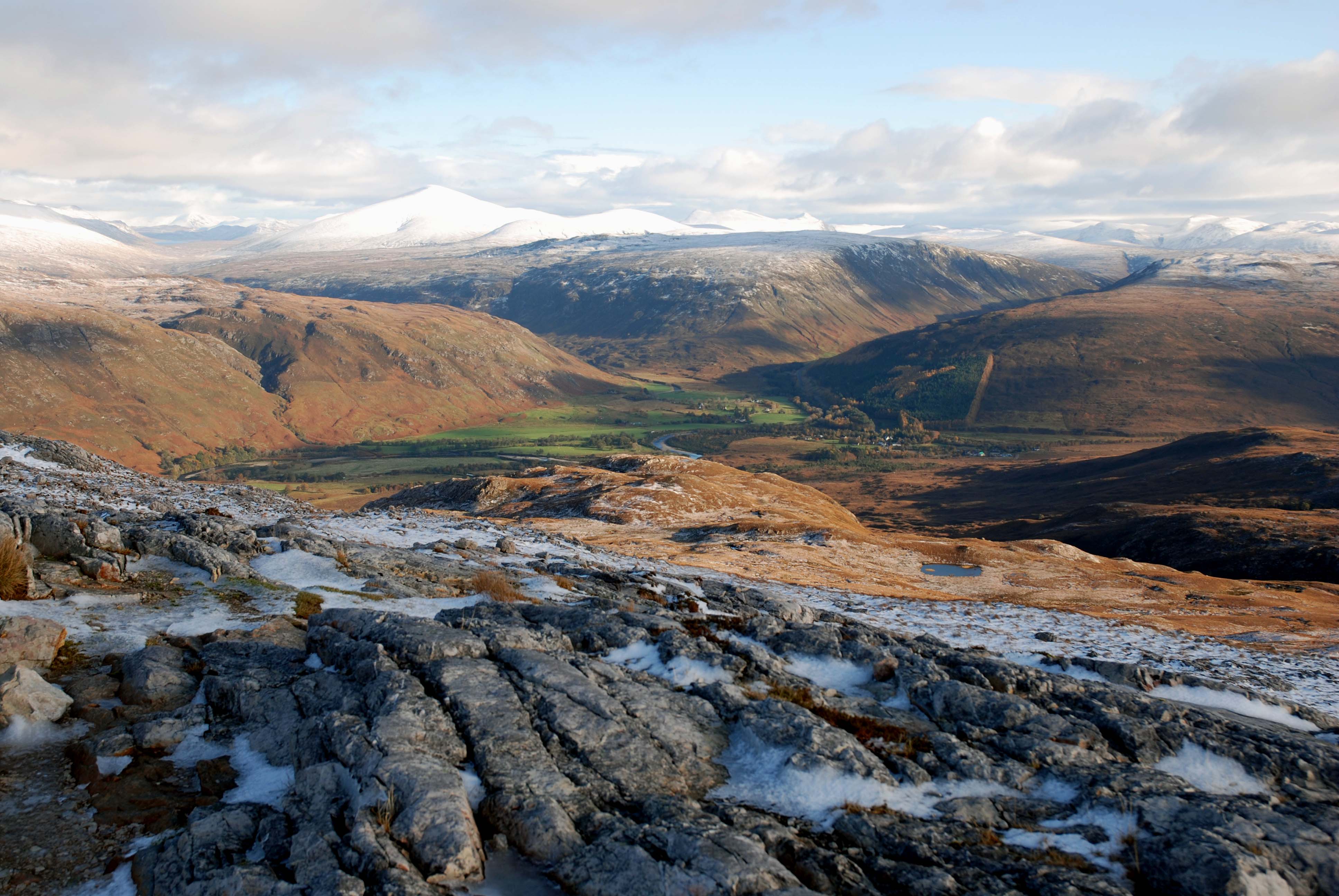
This is part of a typical glacial trough - flat valley floor and steep sides. The picture also illustrates a glacial confluence point with a number of valleys meeting. The river occupying the valley floor today is a misfit river and meanders widely. The upland area is well rounded indicating that the whole area was at one time submerged under moveing ice.
Uploaded to Geograph by Robert W Watt on 30 October 2008


