-
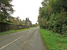
Road to the A75 near Galla Hill
-
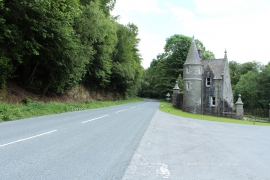
B727 and the entrance to Cally Park
Road to the A75 near Galla Hill
B727 and the entrance to Cally Park
Location and coordinates are for the approximate centre of Galla Hill Plantation within this administrative area. Geographic features and populated places may cross administrative borders.