-
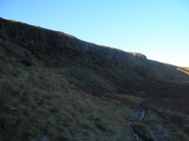
Frosty morning on Langfield Edge
-
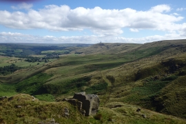
On Langfield Edge
Frosty morning on Langfield Edge
On Langfield Edge
Location and coordinates are for the approximate centre of Gaddings Dam within this administrative area. Geographic features and populated places may cross administrative borders.