-

Eilean nan Gobhar from the A861
-
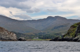
Eilean nan Gobhar
Eilean nan Gobhar from the A861
Eilean nan Gobhar
Location and coordinates are for the approximate centre of Eilean nan Gobhar within this administrative area. Geographic features and populated places may cross administrative borders.