OS benchmark - Middle Wyke Farm
Uploader's Comments
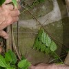
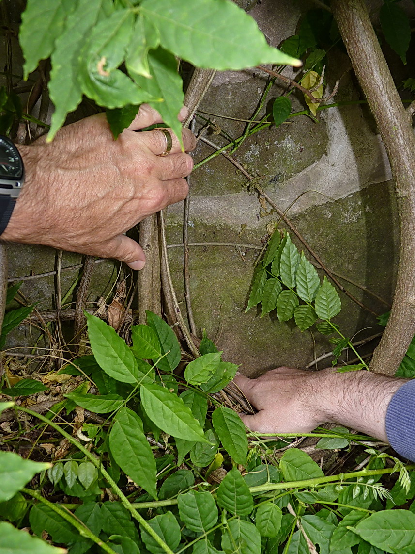
A cutmark in the sandstone of what is now a barn conversion at Middle Wyke Farm. The owner (his hand's on the right, mine on the left) didn't know it was there, but we found it lurking behind the wysteria. Levelled at 121.6444m, 399'1" above Ordnance Datum Newlyn.
Uploaded to Geograph by Richard Law on 3 August 2013