-
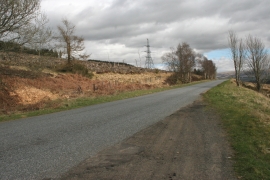
Felled forestry, from B827
-
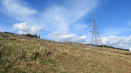
Beauly - Denny power line
Felled forestry, from B827
Beauly - Denny power line
Location and coordinates are for the approximate centre of Coire Odhar within this administrative area. Geographic features and populated places may cross administrative borders.