-
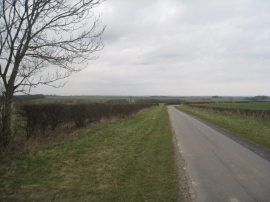
Lane to Middleton on the Wolds
-
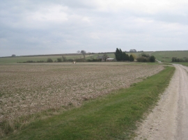
View towards Enthorpe Station
Lane to Middleton on the Wolds
View towards Enthorpe Station
Location and coordinates are for the approximate centre of Callace Dale within this administrative area. Geographic features and populated places may cross administrative borders.