A field near Bottesford
Uploader's Comments
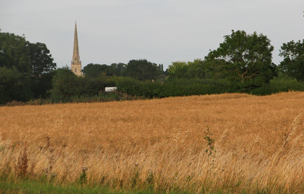
This zoom shot across the fields was taken from what was, until the bypass was built south of Bottesford, the A52. Like Belvoir Castle, the 213ft spire of Bottesford church, "The Lady of the Vale", is a landmark for miles around. For a close-up of it, see [[[2529845]]]. Bottesford is in the narrow northernmost corner of Leicestershire and part of the road sign marking the county boundary appears in the middle distance, where the boundary crosses the road. The wheatfield is in Leicestershire; standing at the roadside to take the picture, I was in Nottinghamshire.
Uploaded to Geograph by John Sutton on 29 July 2011


