-
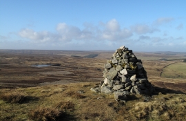
Burnhead Dam from cairn on Bolt's Law
-
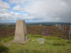
Trig point and currick on Bolt's Law
Burnhead Dam from cairn on Bolt's Law
Trig point and currick on Bolt's Law
Location and coordinates are for the approximate centre of Burnhead Dam within this administrative area. Geographic features and populated places may cross administrative borders.