-
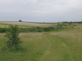
Sighting WNW along Bokerley Dyke, from Martin Down National Nature Reserve
-
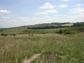
Martin Down NNR
Sighting WNW along Bokerley Dyke, from Martin Down National Nature Reserve
Martin Down NNR
Location and coordinates are for the approximate centre of Bokerley Down within this administrative area. Geographic features and populated places may cross administrative borders.