-
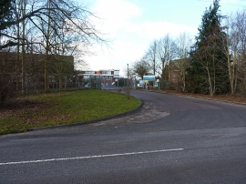
Entrance to the Whitacre Waterworks site
-
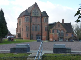
Listed buildings at Whitacre Waterworks
Entrance to the Whitacre Waterworks site
Listed buildings at Whitacre Waterworks
Location and coordinates are for the approximate centre of Blyth End within this administrative area. Geographic features and populated places may cross administrative borders.