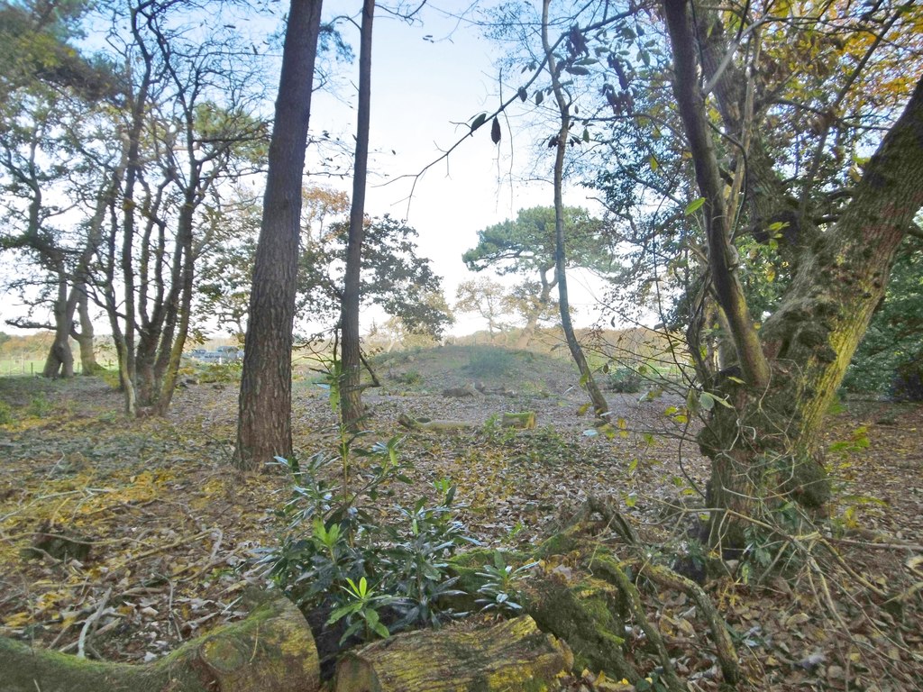
East Holme, tumulus
Uploader's Comments
On the northern boundary of Holme Lane Plantation; listed by Pastscape (first reference): http://www.pastscape.org.uk/hob.aspx?hob_id=456672&sort=2&rational=m&recordsperpage=10&maplat=50.67077647&maplong=-2.11817449&mapisa=1000&mapist=os&mapilo=-2.1182&mapila=50.6708&mapiloe=w&mapilan=n&mapios=SY916857&mapigrn=85750&mapigre=391650&mapipc=#aRt
Uploaded to Geograph by Mike Faherty on 16 November 2017


