-
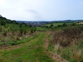
Yeo Valley Woodland from the top of the hill
-

Yeo Valley Woodland looking up the hill
Yeo Valley Woodland from the top of the hill
Yeo Valley Woodland looking up the hill
Location and coordinates are for the approximate centre of Ash Plantation within this administrative area. Geographic features and populated places may cross administrative borders.