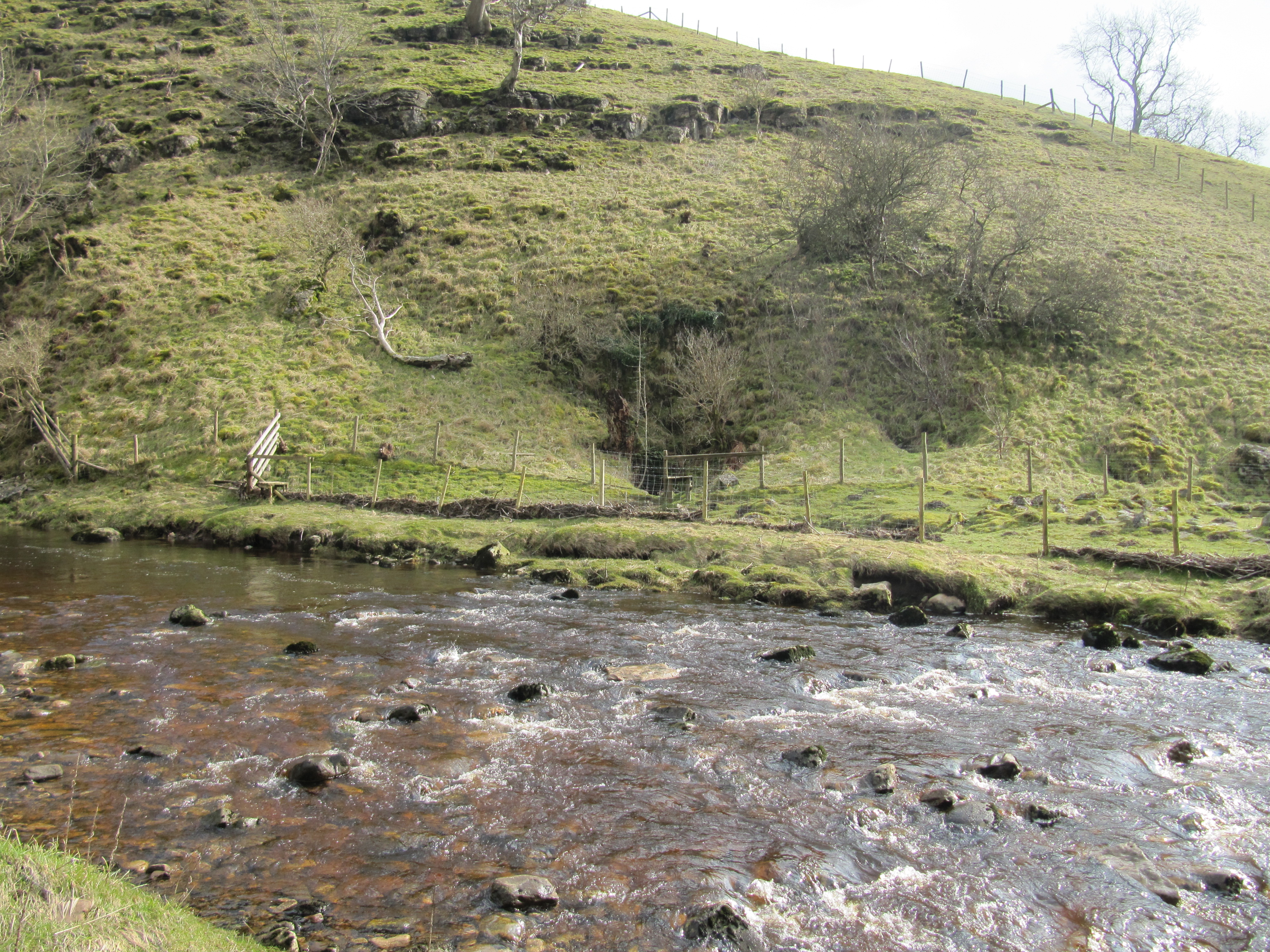
River Nidd next to Manchester Hole
Uploader's Comments
At this point, the River Nidd is often dry, having sunk underground a short distance to the north of here. Manchester Hole (which appears to be right on the boundary with grid square SE1076) is on the far bank of the river among the bushes at the centre of this photograph, and provides an entrance into the Nidderdale Cave System.
Uploaded to Geograph by David Tyers on 11 March 2016


