Summit of Creag nan Laogh (220 m)
Uploader's Comments
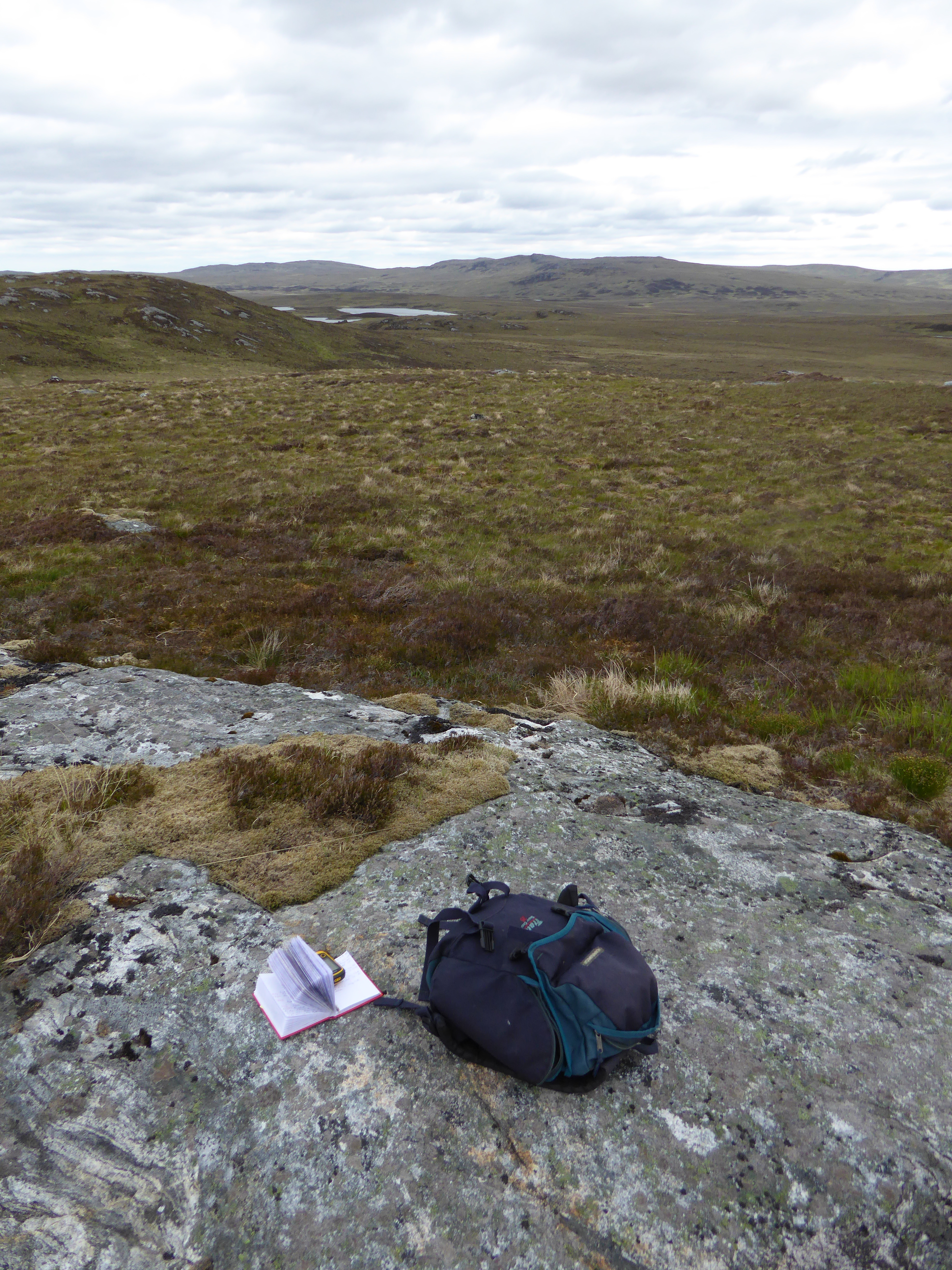
Wet heath with Rhifail Loch in the distance to the north-east. This watershed is the boundary between the two botanical vice-counties of East Sutherland (right) and West Sutherland (Strath Naver on the left)
Uploaded to Geograph by Mick Crawley on 16 June 2015


