-
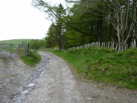
A bit of a drag...
-
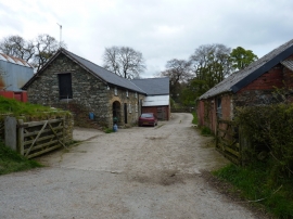
Barns and buildings at Penybryn
A bit of a drag...
Barns and buildings at Penybryn
Location and coordinates are for the approximate centre of Coed Bach within this administrative area. Geographic features and populated places may cross administrative borders.