-
Glyndwr's Way near Llwydiarth
-

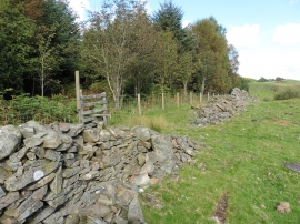
A field above the River Vyrnwy
Glyndwr's Way near Llwydiarth
A field above the River Vyrnwy
Location and coordinates are for the approximate centre of Yr Allt Boeth within this administrative area. Geographic features and populated places may cross administrative borders.