-
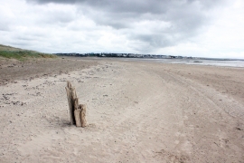
Approaching Traeth Crigyll
-
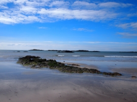
Ynys Feirig
Approaching Traeth Crigyll
Ynys Feirig
Location and coordinates are for the approximate centre of Ynys Feirig within this administrative area. Geographic features and populated places may cross administrative borders.