-

The Afon Teifi at Cenarth
-
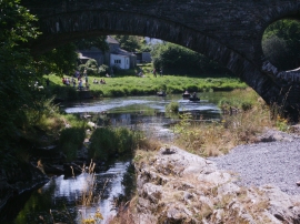
Coracles on Afon Teifi (River Tivy) at Cenarth
The Afon Teifi at Cenarth
Coracles on Afon Teifi (River Tivy) at Cenarth
Location and coordinates are for the approximate centre of Ynys Fach within this administrative area. Geographic features and populated places may cross administrative borders.