-
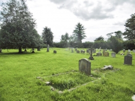
Hinton St Mary, churchyard
-
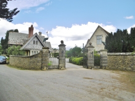
Hinton St Mary, gateway
Hinton St Mary, churchyard
Hinton St Mary, gateway
Location and coordinates are for the approximate centre of Yewstock Plantation within this administrative area. Geographic features and populated places may cross administrative borders.