-
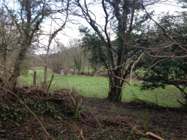
View from the old reading room
-
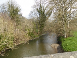
River Ottery at Yeolm Bridge
View from the old reading room
River Ottery at Yeolm Bridge
Location and coordinates are for the approximate centre of Yeolmbridge Wood within this administrative area. Geographic features and populated places may cross administrative borders.