-
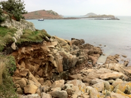
Tean from St. Martin's
-
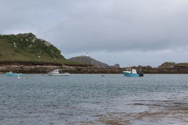
Boats by Tean
Tean from St. Martin's
Boats by Tean
Location and coordinates are for the approximate centre of Yellow Carn within this administrative area. Geographic features and populated places may cross administrative borders.