-
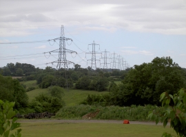
March of the towers
-
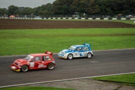
Castle Combe, Race Track
March of the towers
Castle Combe, Race Track
Location and coordinates are for the approximate centre of Yatton Keynell within this administrative area. Geographic features and populated places may cross administrative borders.