-
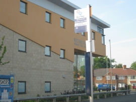
Richmond Primary Care Centre
-
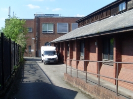
Stechford Telephone Exchange (1)
Richmond Primary Care Centre
Stechford Telephone Exchange (1)
Location and coordinates are for the approximate centre of Yardley Fields within this administrative area. Geographic features and populated places may cross administrative borders.