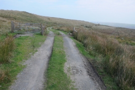
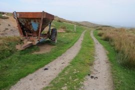
Y Glonc, Powys

« Gazetteer Entry
Upload Photo

Y Glonc, Powys

  • Parish/Community: Caersws
  • Unitary Authority: Powys
  • Region: Wales
  • Category: Geographic Feature
  • Type: Hill or Mountain
  • Latitude/Longitude: 52°34'40"N 3°28'44"W
  • Eastings/Northings: 299866, 298829
  • OS Grid: SN998988
  • Mapcode Local: GBR 9K.BQ2Q
  • Mapcode Global: WH68S.JGGH

Location and coordinates are for the approximate centre of Y Glonc within this administrative area. Geographic features and populated places may cross administrative borders.

BritishPlaceNames.uk is a Good Stuff website.