-
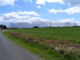
Line of trees near Morrice Green farm
-
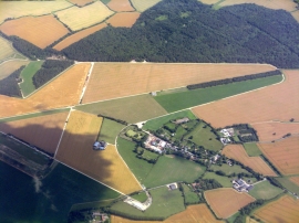
RAF Nuthampstead
Line of trees near Morrice Green farm
RAF Nuthampstead
Location and coordinates are for the approximate centre of Wynnel's Grove within this administrative area. Geographic features and populated places may cross administrative borders.