-
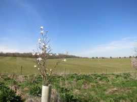
Farmland near Winterbourne
-
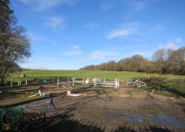
Jumps and things
Farmland near Winterbourne
Jumps and things
Location and coordinates are for the approximate centre of Wyfield Copse within this administrative area. Geographic features and populated places may cross administrative borders.