-

Looking south off Sheephouse Lane near Wotton
-
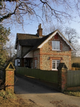
Tillingbourne Lodge, south of Wotton
Looking south off Sheephouse Lane near Wotton
Tillingbourne Lodge, south of Wotton
Other current and historical names
Location and coordinates are for the approximate centre of Wotton within this administrative area. Geographic features and populated places may cross administrative borders.