-

OS benchmark - Wootton Green, Skew Bridge
-
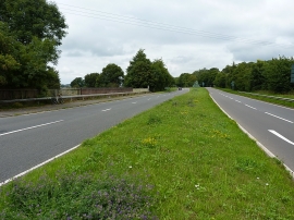
North along the A452
OS benchmark - Wootton Green, Skew Bridge
North along the A452
Location and coordinates are for the approximate centre of Wootton Green within this administrative area. Geographic features and populated places may cross administrative borders.