-
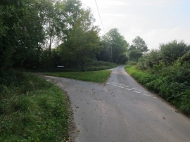
Grass triangle at road junction
-
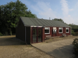
Witton and Ridlington village hall
Grass triangle at road junction
Witton and Ridlington village hall
Location and coordinates are for the approximate centre of Witton within this administrative area. Geographic features and populated places may cross administrative borders.