-
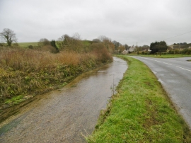
Winterbourne Abbas, River South Winterborne
-

Winterbourne Abbas garage site redevelopment
Winterbourne Abbas, River South Winterborne
Winterbourne Abbas garage site redevelopment
Other current and historical names
Location and coordinates are for the approximate centre of Winterbourne Abbas within this administrative area. Geographic features and populated places may cross administrative borders.